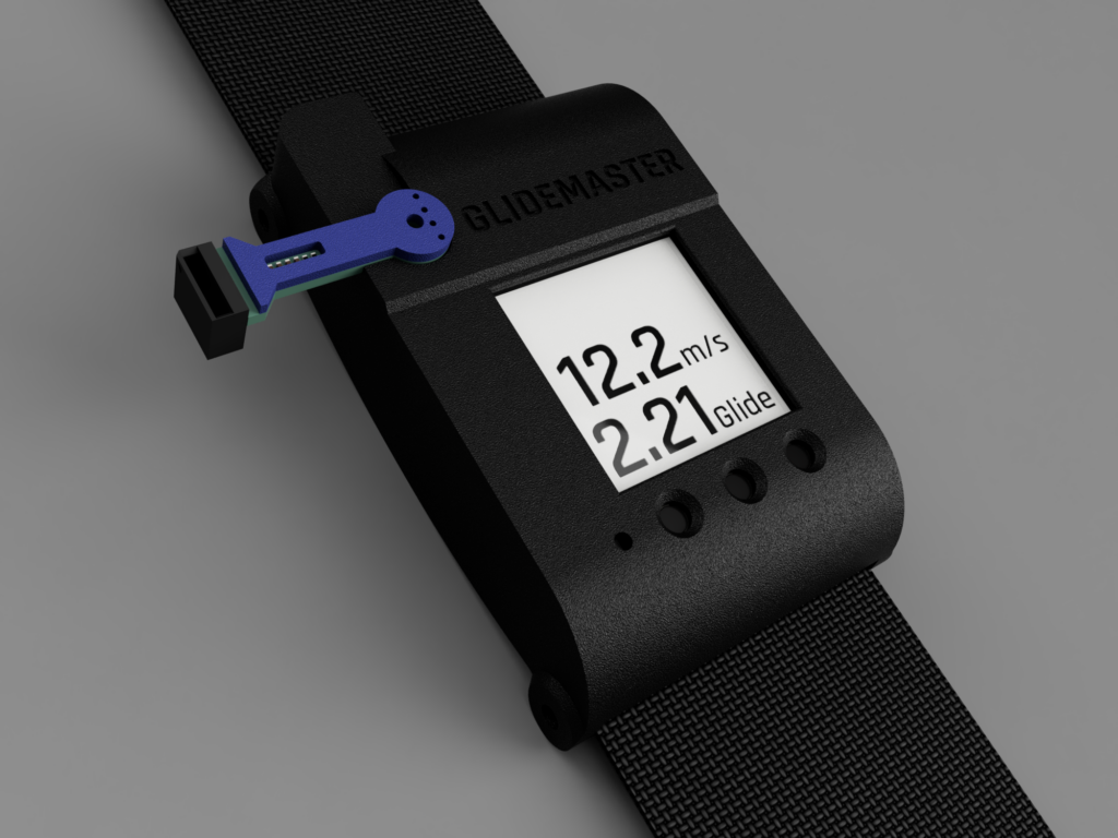
The Glidemaster: see your canopy performing

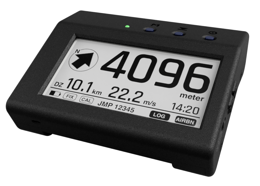
If you are in the air – and more than 100m away from the home position, the arrow (left of the altitude display) points to the direction you have to fly to get back home (= to the DZ). The distance in mi/km is displayed below the arrow.

Make sure to hold the device into the flight direction (in front of your chest) to interpret the arrow direction correctly.

altitude display

The large digits in the upper part of the airlogOne are the altitude indication, in meters or feet, depending on your preference

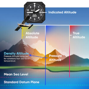
Internally the airlogOne works with a high precision pressure sensor – its pressure measurements are converted to the displayed altitude using the “baromeric formula” according to the ICAO standard. The only difference to the ICAO rules is the fact that on ground is always the 0m position. This adjustment (measured pressure = 0m) is done automatically when the instrument is switched on and can be updated when the air pressure changes by means of the Alt0 key.

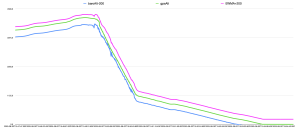
The GPS altitude is not displayed and is only stored additionally in the data tracks. GPS was not developed for altitude measurements. Also, the GPS altitude is always the altitude above the geoid (simplified: mean sea level) and therefore not null at ground, so it is not usable for skydivers.

Add Any content here

navigate home

Before boarding the aircraft, make sure that the airlogOne has received a GPS signal (FIX). Then press the DZ button for at least 3s – the current position will be stored as “Home”.

If you are in the air – and more than 100m away from the home position, the arrow (left of the altitude display) points to the direction you have to fly to get back home (= to the DZ). The distance in mi/km is displayed below the arrow.

Make sure to hold the device into the flight direction (in front of your chest) to interpret the arrow direction correctly.

Add Any content here

track your dive

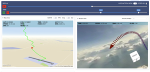
The comprehensive recording of all data is only done in the Track mode of the airlogOne

Internally the airlogOne works with a high precision pressure sensor, whose pressure measurements are converted to the displayed altitude using the “baromeric formula” according to the ICAO standard. The only difference to the ICAO rules is the fact that on the ground is always the 0m position. This adjustment (measured pressure = 0m) is done automatically when the instrument is switched on and can be updated when the air pressure changes by means of the Alt0 key.

The GPS altitude is not displayed and is only stored additionally in the data tracks. GPS was not developed for altitude measurements and shows the greatest inaccuracies there. Also, the GPS altitude is always the altitude above the geoid (simplified: mean sea level) and therefore not null on the ground, so it is not usable for skydivers directly.

getting airborne

One of the important features of the airlogOne is the automatic logbook

For this purpose, the device checks every minute whether it is gaining speed and altitude. If this condition is detected, the “flight phase” begins – you and the device are airborne.

At this point, an entry is made into the airlogOne’s internal logbook (also stored on the SD card), which includes the day, time, location and later the name of the track file. Also, your jump count will be incremented.

After transferring this information to the cloud dashboard, your jump log is completed – you only need to add data such as drop plane, fellow jumpers and comments. This logbook is available to you worldwide and at any time in the web browser.

truemove fusion sensor

The truemove* fusion sensor is an “Attitude and Heading Reference System (AHRS)” – a device that measures the orientation and motion of an object in space, usually using a combination of accelerometers, gyroscopes and magnetometers.

AHRS can be used in a variety of applications, including virtual reality, immersive gaming, sports and fitness, and robotics – you probably know it from your Playstation or Wii.

In aircraft navigation, it’s used to provide information about an aircraft’s attitude and heading (roll, pitch, yaw). The same is true for skydivers.

For an arm-worn tracker, truemove* is the technology that enables you to interpret the acceleration data received from the sensors – because you need to know the position and orientation of the sensor itself to transform all measurement data into “world coordinates”.

If the tracker is attached to a fixed position (e.g. chest strap, mudflap), it can provide detailed information about the orientation (attitude) of the jumper. These can be correlated along with the other tracking parameters (speed, descent rate, etc) and provide information about the effects of in-flight position changes.
No device has been able to do this so far!

With airlogOne, the attitude data is stored as “quaternion”, a mathematical form that has significant advantages for further processing. It can be easily converted to the classic format of roll, pitch and yaw angles.
Section with Image right

Lorem ipsum dolor sit amet, consectetuer adipiscing elit, sed diam nonummy nibh euismod tincidunt ut laoreet dolore magna aliquam erat volutpat.

Add Any content here

Latest News

Lorem ipsum dolor sit amet, consectetuer adipiscing elit, sed diam nonummy nibh euismod .

Our blog

ADd a callout header here

Lorem ipsum dolor sit amet, consectetuer adipiscing elit, sed diam nonummy nibh euismod tincidunt ut laoreet dolore magna aliquam erat volutpat.